Click here for 2024 SK Provincial Election news and info
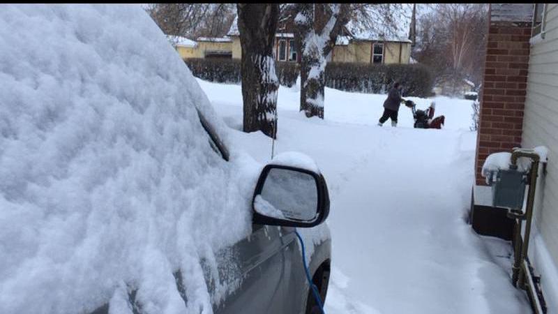
(File photo/paNOW News)
WINTER IS BACK!!

Jack Frost makes up for lost time after mild start to winter

Jan 8, 2024 | 9:26 AM

After winter was seemingly on pause, Saskatchewan’s fortunes are about to change in a hurry.

Environment Canada says an Alberta Clipper will sweep through the province Tuesday and Wednesday, dragging snow and Arctic air with it.

“Typical of El Niño is that colder air stays bottled up north. That has shifted over the last week,” Environment Canada meteorologist Chris Stammers said Monday.

“We’re definitely on the colder side of the Arctic air. Tuesday and Wednesday will be the last normal-ish days and then it does look like we head down to pretty prolonged below-normal temperatures — at least for a week.”

Snow will begin falling midday on Tuesday. The hardest-hit areas will be along the Highway 16 corridor, including Saskatoon and North Battleford receiving in the neighbourhood of five to 10 centimetres.

The Regina area will see about two to four centimetres.

Stammers said once we’re done cleaning up from the snowfall, colder air from the Arctic will pour into the province. Temperatures for Saskatoon and Regina will plummet into the -20s and -30s by the end of the week.

“It is typical of El Niño to still have cold blasts. It’s just they don’t last as long. We don’t get locked in and it does look like we’ll return to at least seasonal after a week or two of this cold,” said Stammers.

As of 9 a.m. Monday, there were extreme cold alerts in place for northern Saskatchewan, including the Key Lake and Stony Rapids areas.

The weather services said extreme cold wind chill values near -45 C are expected Monday night, with those values remaining in place for some areas all week.

View Comments