Sign up for the battlefordsNOW newsletter
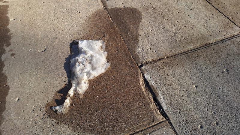
The recent melting conditions could soon change, especially in the northwest. (Cam Lee/northeastNOW)
Precipitation approaching

Warm weather records fall as snow, rain approach

Feb 2, 2024 | 12:23 PM

The record-setting temperatures across Saskatchewan over the past week will be coming to an end this weekend.

Environment Canada meteorologist Terri Lang told northeastNOW that 69 temperature records fell across the province during this stretch of warm weather.

Melfort’s high of 5.1 degrees Celsius set a record yesterday, while Maple Creek’s high of 21 degrees this week set an all-time record in Saskatchewan for the month of January.

The warmer weather is likely due to the weather phenomenon known as El Nino. Lang said there was a little bit of a break from the warmth during the arctic temperatures earlier this month.

“El Nino is sort of still around, so that pattern has re-established itself, that really sort of mild dry pattern,” said Lang.

According to Lang, the really mild conditions will not last much longer.

“We are seeing that pattern starting to break down over the weekend so I think a couple…nicer days, and then Sunday we’re looking at a weather system starting to move in,” Lang explained.

The weather pattern coming in over the weekend should cause more issues for people living in the province’s northwest than in the central and northeast regions.

Lang said the Melfort area should start seeing some snow or freezing rain later in the day on Sunday into Monday. The precipitation should then switch to rain as the temperatures remain mild. She said any snow that falls in the Melfort region will likely be melted with the rain.

The Prince Albert region should get more snow, but they are also along the rain line. Snow will likely start falling a little earlier on Sunday, but they might also get some rain into Monday.

“North Battleford should be more into the cooler air, and they’ll probably see more in the way of snow falling there,” explained Lang. Snow should fall starting early in the day on Sunday and continue through Monday, with totals potentially reaching 10 to 15 cm.

The wind will also be fairly strong in the northwest, which could lead to blowing snow and reduced visibility.

Temperatures will stay slightly above average through the weekend, but will cool toward seasonal averages later in the week.

Lang said the milder weather can lead to some icy roads, especially if the temperatures dip at night. She cautions drivers, and even people walking, to be wary of pavement frost and ice.

cam.lee@pattisonmedia.com

On X: @northeastNOW_SK

View Comments