Click here to sign up for our free daily newsletter
(CRCC WildFire Saskatchewan/Facebook)
WILDFIRE UPDATE

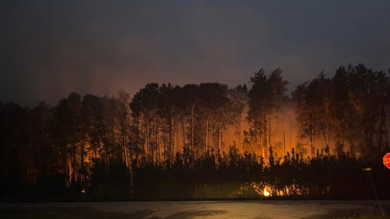
83 active wildfires burning in northern Sask., displacing over 2,600: SPSA

Aug 13, 2025 | 2:53 PM

UPDATE: Canoe Lake and Ile-à-la-Crosse, including Canoe Ross and Rosser Bay subdivision residents can return home tomorrow, when the evacuation order will be rescinded. So far, the plan is to have the order removed at 8 a.m. Thursday, Aug. 14.

Pinehouse residents who self-evacuated can return to the village tomorrow. Buses will be arranged for those who require transportation.

The Saskatchewan Public Safety Agency (SPSA) says 83 wildfires are currently burning in the province, with 13 still out of control as of Wednesday, Aug. 13.

An estimated 2,618 people have been evacuated or are receiving support from nine communities across the north, including Beauval, Jans Bay, Patuanak, Canoe Lake, Pinehouse and Ile-à-la-Crosse.

According to the Northern Village of Ile-a-la-Crosse’s social media page, it is extending its declaration of local emergency for another seven days so Priority 1 and Priority 2 residents can continue to receive support if they remain evacuated in Saskatoon.

The evacuation order remains in effect for the Canoe River and Rosser Bay subdivisions. Officials are contacting evacuees to confirm who has returned, noting some have gone home without notifying SPSA or local staff.

The largest fire, known as the Shoe fire, has scorched 565,701 hectares around Lower Fishing Lake since May and has forced the closure of Narrow Hills Provincial Park and the East Trout–Nipekamew Lakes Recreation Site.

The Pisew fire west of La Ronge, at 220,066 hectares, has prompted the closure of the bridge at Clam Crossing on Highway 935.

The 346,171-hectare Muskeg fire north of La Plonge and Beauval has triggered multiple highway closures, including parts of Highways 918, 165, 914 and 965.

The Buhl fire west of Weyakwin, which has entered Prince Albert National Park, has scorched 96,991 hectares.

The Trail fire west of Beauval, covering 56,442 hectares, has caused intermittent closures on Highway 965, while the Park fire north of La Loche, at 62,830 hectares, is near Clearwater River Provincial Park and Highway 955.

Crews are being supported by resources from across Canada and abroad, including personnel from Quebec, Ontario, Prince Edward Island, Australia, Mexico, Yukon, Parks Canada and North Dakota, as well as members of the Canadian Armed Forces.

Weather across the fire zones is expected to bring mixed conditions. Northern regions are seeing highs around 18 to 20 C with relative humidity between 60 and 70 per cent, while southern areas may reach 25 C.

Winds are generally from the southeast at 15 to 30 km/h, gusting up to 40 or 50 km/h, with some localized gusts near 90 to 100 km/h in strong or severe thunderstorms.

Forecasters warn of the risk of large hail, small hail in some areas, and even a slight risk of tornadoes. Rainfall could range from light showers to 10–20 mm.

The agency continues to monitor the situation and provide updates through its interactive wildfire map and Highway Hotline.

Any evacuees should register through the Sask Evac Web Application and then call 1-855-559-5502 between 8 a.m. and 5 p.m. to have their needs assessed and for additional assistance. Individuals who need help registering through the application can call the 855 line for assistance.

Evacuees supported by the Canadian Red Cross should call 1-800-863-6582.

cjnbnews@pattisonmedia.com