Sign up for our free daily newsletter

Say it ain’t snow: Sask. braces for first brush with winter

Oct 4, 2016 | 3:28 PM

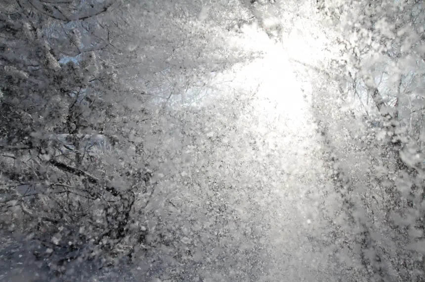
People living in Saskatchewan are set to face a stark reality: winter is coming.

A low-pressure system moving up from Montana started to drench most of south and western Saskatchewan with a mix of rain and snow Tuesday afternoon.

“Many elements of this storm make it one of the nastiest for this time of year,” said David Phillips, senior climatologist with Environment Canada.

“We could end up with about nine hours of rain… and then switch over to several more hours of snow (in Saskatoon).”

The forecast is calling for 10-15 centimetres, or four to six inches, of snow in the Bridge City between Tuesday and Wednesday.

The amount would break a 100-year-old record for Oct. 5, set in 1916 when 5.6 cm, or two inches, fell.

The cold weather could also set a new mark for an Oct. 5 high, as the temperature is set to reach a mere 1 C. The record for the lowest high was set in 1941 at 1.1 C.

Tuesday morning, Environment Canada said people in other parts of the province already got a significant amount of rain—between 20 and 50 millimetres—in the last 24 hours.

Broadview saw around 38 millimetres, while Val Marie, just north of the Sask.-U.S. border, received 50 millimetres.

SNOWFALL WARNINGS

Snowfall warnings were in effect Tuesday afternoon for a large stretch of southwestern, central and northeastern Saskatchewan – including Saskatoon.  

Environment Canada said after heavy rain Tuesday, most of the southwestern part of the province will transition over to accumulating snow by the late evening hours as temperatures fall to the freezing mark.

“A quick 10 centimetres of snow is expected to accumulate in the warned area by morning, with another 5 centimetres possible through the day Wednesday,” the statement read.

The agency also called for gusty northerly winds to continue into Wednesday, with visibility possibly reduced at times. Light snow will gradually taper off from west to east Wednesday night into Thursday.

Environment Canada also warns drivers to be prepared to adjust to changing road conditions.

If visibility is reduced, drivers should slow down, watch for tail lights ahead and be prepared to stop.

Surfaces such as highways, roads, walkways and parking lots may become difficult to navigate due to accumulating snow.

The warning also noted there might be a significant impact on rush hour traffic in urban areas.

WARM WEATHER NOT DONE YET

While the snow may fall heavy, Phillips said many won’t have to worry about shovelling it.

He said the warm ground, plus rising temperatures after Wednesday, will allow Mother Nature to do away with the snow without any help.

“I wouldn’t suggest that you write… the obituary on summery weather yet,” he said. “The harvest will get going again.”

He said temperatures are set to reach double-digits again by Thanksgiving weekend.

“And hey, (maybe) people can swing the golf club one more time.”


Email news@ckom.com

Twitter @CKOMNews